
Er zijn nog geen Nederlandstalige annotaties. Hier volgen annotaties in het Engels.
Er zijn nog geen afbeeldingen met betrekking tot deze plaats toegevoegd.
Afbeelding toevoegen.
Afbeelding toevoegen.
Omgeving:
")
Locatie:
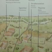
- Oostenrijk, Vienna
- geo:48.206955,16.365576
- Locatie ± 25-100 m.
Period or year:
- 5x / unknown
Classificatie:
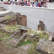
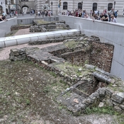
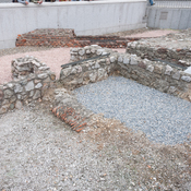
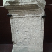
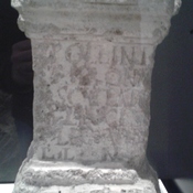
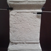
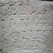
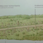
- Graf (-veld)
- Niet zichtbaar
Identifiers:
- vici:place=60743
Annotaties
In de buurt
Heiliges römisches Reich (deutscher Nationen)
Auflösung des Heiligen Römischen Reiches
Tabula Peutingeriana [Peutinger table]
13th-century copy of an original map dating from the 4th century, covering Europe, parts of Asia (India) and North-Africa. Österreichische Nationalbibliothek, Hofburg, Wien
Papyrus Vindobonensis Graecus 39777
late 3rd and 4th century manuscript