
Il n'y a pas d'annotations. Ajouter une note.

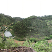
Les environs:


Localisation:
- Portugal, Porto Velho
- geo:39.708805,-8.448272
- Précision ± 0-5 m.
Period or year:
- -1xx / unknown
Classification:
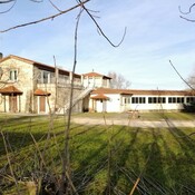
- Villa rustica
- Invisible
Identificateurs:
- vici:place=86760
Annotations
À proximité
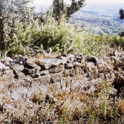
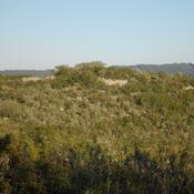
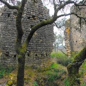
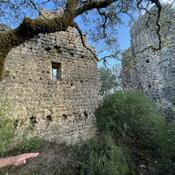
Castelo do Porto Velho
Settlement with two lines of walls, probably from the Iron Age, and later romanized
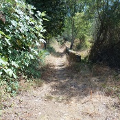
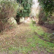
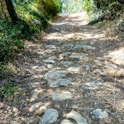
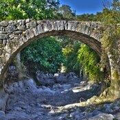
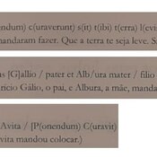
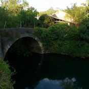
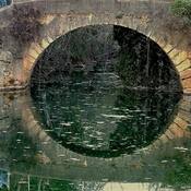
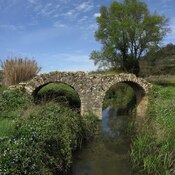
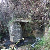
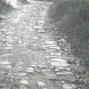
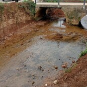
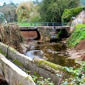
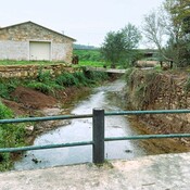
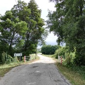
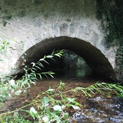
Porto Velho ("old ford")
Porto Velho ("old ford")
Rouquel-Arouquel (2 km)
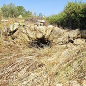
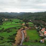
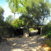
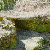
Probably will be a Roman villa, which would be associated with a necropolis located not far from this location.