
Es gibt noch keine Anmerkungen. Bitte, Informationen einfügen.

Umgebung:

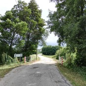

Lage:
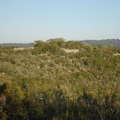
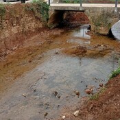
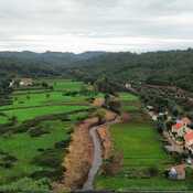
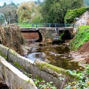
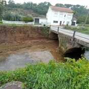
- Portugal, Porto Velho
- geo:39.708805,-8.448272
- Lage ± 0-5 m.
Period or year:
- -1xx / unknown
Klassification:
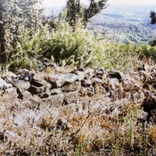
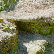
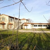
- Villa rustica
- Unsichtbar
Identifiers:
- vici:place=86760
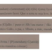
Anmerkungen
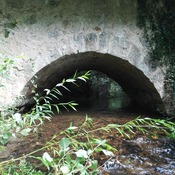
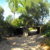
In der Nähe
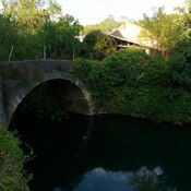
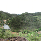
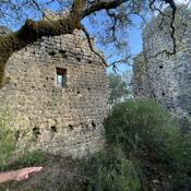
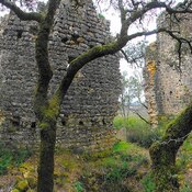
Castelo do Porto Velho
Settlement with two lines of walls, probably from the Iron Age, and later romanized
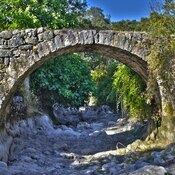
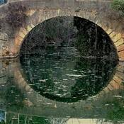
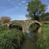
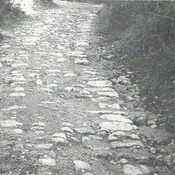
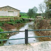
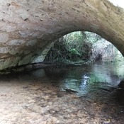
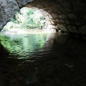
Porto Velho ("old ford")
Porto Velho ("old ford")
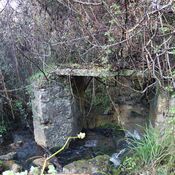
Rouquel-Arouquel (2 km)
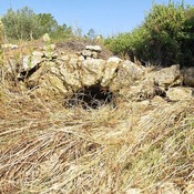
Probably will be a Roman villa, which would be associated with a necropolis located not far from this location.