
Il n'y a pas d'annotations. Ajouter une note.

Les environs:
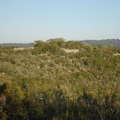

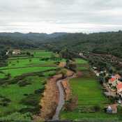
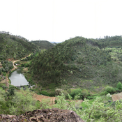

Localisation:
- Portugal, Aventeira
- geo:39.740593,-8.431162
- Précision ± 0-5 m.
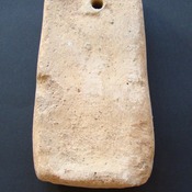
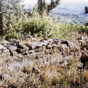
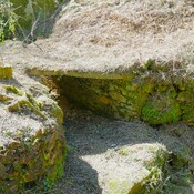
Classification:
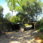
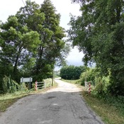
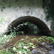
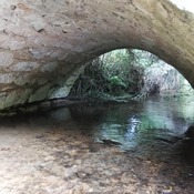
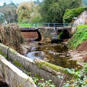
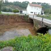
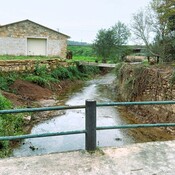
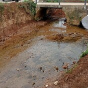
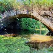
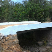
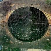
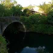
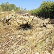
- Pont
- Visible
Identificateurs:
- vici:place=39031
Annotations
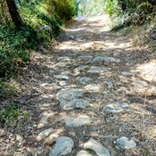
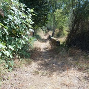
À proximité
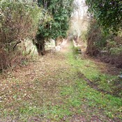
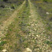
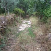
Roman Road
Roman Road
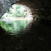
Avecasta cave forges (2 km)
Large natural cave used as habitat and metal forges
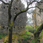
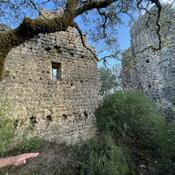
Iron age fortification (Avecasta) (3 km)
Iron age fortification (Avecasta)