
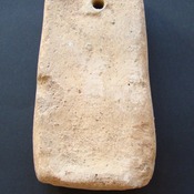
No annotations have been added. Please add information about this place.

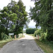
Surroundings:
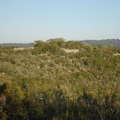

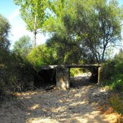
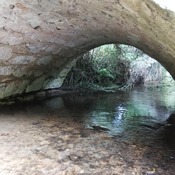
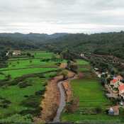
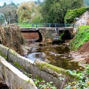
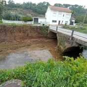
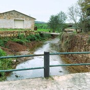
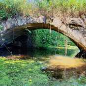
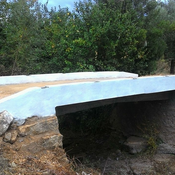
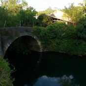
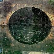
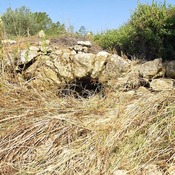

Location:
- Portugal, Aventeira
- geo:39.740593,-8.431162
- Location ± 0-5 m.
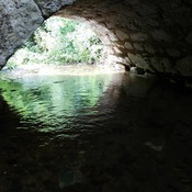
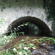
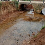
Class:
- Bridge
- visible
Identifiers:
- vici:place=39031
Annotations
Nearby
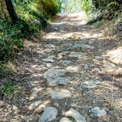
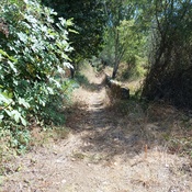
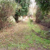
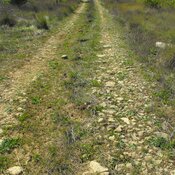
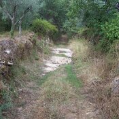
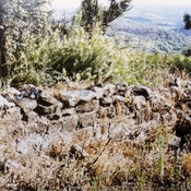
Roman Road
Roman Road
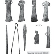
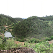
Avecasta cave forges (2 km)
Large natural cave used as habitat and metal forges
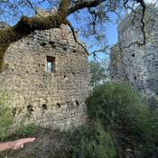
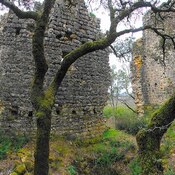
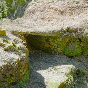
Iron age fortification (Avecasta) (3 km)
Iron age fortification (Avecasta)