

Il n'y a pas d'annotations. Ajouter une note.

Localisation:
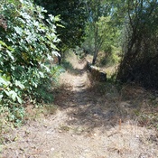
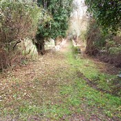
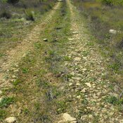
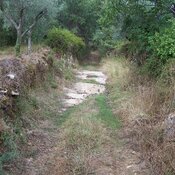
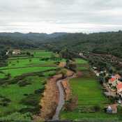
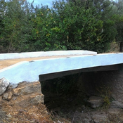
- Portugal, Aventeira
- geo:39.740616,-8.431794
- Précision ± 0-5 m.
Classification:
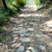
- Voie romaine
- Visible
Identificateurs:
- vici:place=42825
Annotations
À proximité
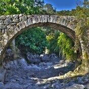
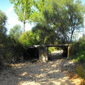
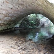
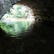
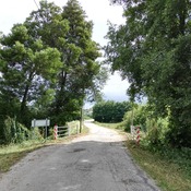
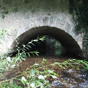
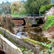
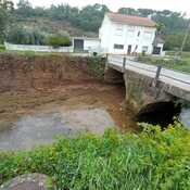
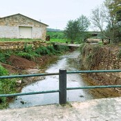
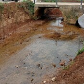
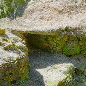
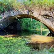
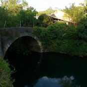
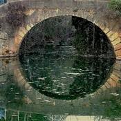
Ponte romana na Quebrada
Roman Bridge
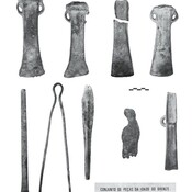
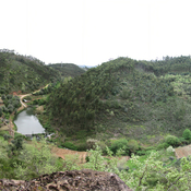
Avecasta cave forges (2 km)
Large natural cave used as habitat and metal forges
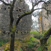
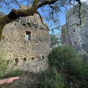
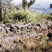
Iron age fortification (Avecasta) (3 km)
Iron age fortification (Avecasta)