

Es gibt noch keine Anmerkungen. Bitte, Informationen einfügen.

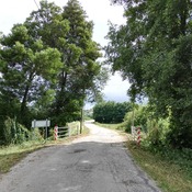
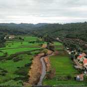
Lage:
- Portugal, Aventeira
- geo:39.740616,-8.431794
- Lage ± 0-5 m.
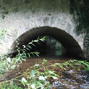
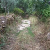
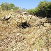
Klassification:
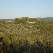
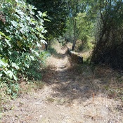
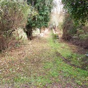
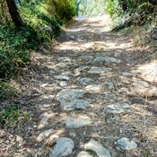
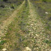
- Römerstraße
- Sichtbar
Identifiers:
- vici:place=42825
Anmerkungen
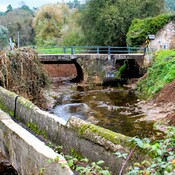
In der Nähe
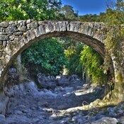
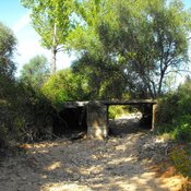
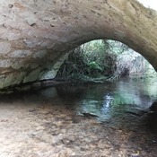
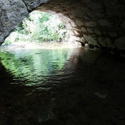
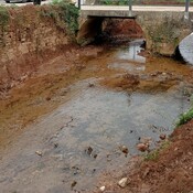
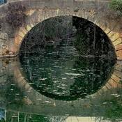
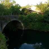
Ponte romana na Quebrada
Roman Bridge
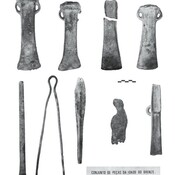
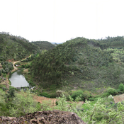
Avecasta cave forges (2 km)
Large natural cave used as habitat and metal forges
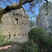
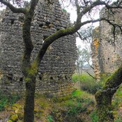
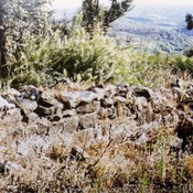
Iron age fortification (Avecasta) (3 km)
Iron age fortification (Avecasta)