
Es gibt noch keine deutschsprachige Anmerkungen. Präsentiert wirden Anmerkungen auf English.


Umgebung:
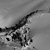
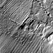
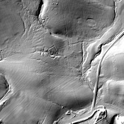
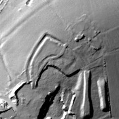
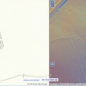
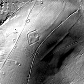

Lage:
- Vereinigtes Königreich, Gunnerton
- geo:55.069416,-2.134763
- Lage ± 0-5 m.
Period or year:
- 1xx? / unknown
Klassification:
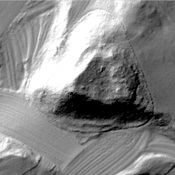
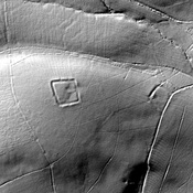
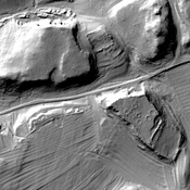
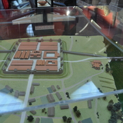
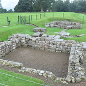
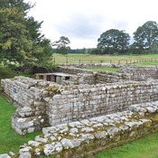
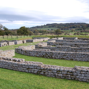
- Kastell
- Unsichtbar
Identifiers:
- vici:place=92141
Anmerkungen
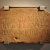
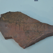
Relevante Museen
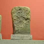
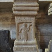
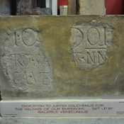
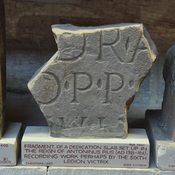
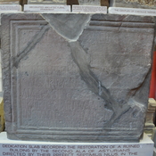
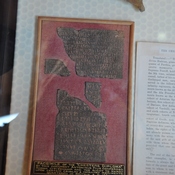
Chesters Roman Fort Museum
Chesters Roman Fort Museum
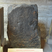
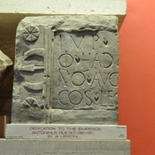
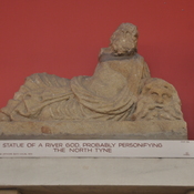
Great North Museum: Hancock
Great North Museum: Hancock
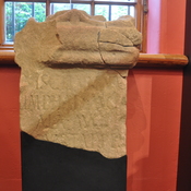
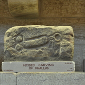
Alnwick Castle
Alnwick Castle and museum.
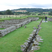
In der Nähe
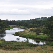
Gunnerton Crag camps
Gunnerton Crag camps
Gunnerton
Tumulus.
Cat's Elbow (1 km)
Romano-British farmstead, 120m south west of Cat's Elbow