Vici.org

Les environs:
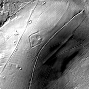
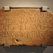
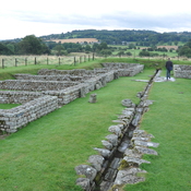
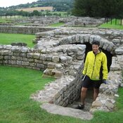
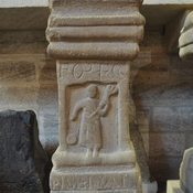
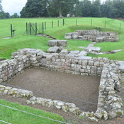
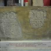
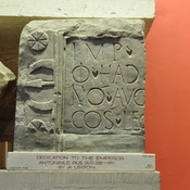
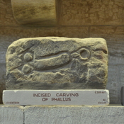
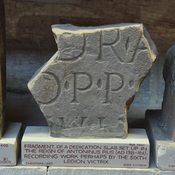
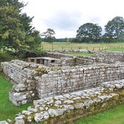
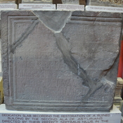
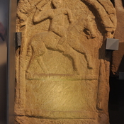
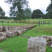
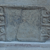
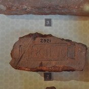
GunnertonCat's ElbowCamphill FarmPity MeCrag FarmOxhill PlantationLittle Swinburne Reservoir farmDunn CragsHigh Cowden CottageSlab with Inscription (Latin) from milecastle 38BarracksTombstone showing man on muleRuins of west gateChesters from westBuilding stone Cohort I DalmatiansRooftile II AugustaChesters from westStatue of Juno DolichenusRooftile XX VictrixMan hunting boar with a tridentModel of fort Cilurnum, explanationRooftile XX VictrixMan hunting boar with a trident and a shield (?)Model of fort CilurnumAltar recording the Hadrianic garrison, dedicated to DisciplineSlab dedicated to Jupiter DolichenusModel of fort CilurnumstrongroomAltar to the goddess Fortune conservatrixRuins of gate Cilurnum

Localisation:

  • Royaume-Uni, Gunnerton
  • geo:55.069416,-2.134763
  • Précision ± 0-5 m.

Period or year:

  • 1xx? / unknown

Classification:

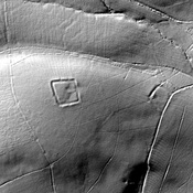
  • Camp fortifié
  • Invisible

Identificateurs:

  • vici:place=92141

Annotations

https://historicengland.org.uk/listing/the-list/list-entry/1002908


Musées associés

Chesters Roman Fort Museum

Chesters Roman Fort Museum

Great North Museum: Hancock

Great North Museum: Hancock

Alnwick Castle

Alnwick Castle and museum.


À proximité

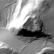
Gunnerton Crag camps

Gunnerton Crag camps

Gunnerton

Tumulus.

Cat's Elbow (1 km)

Romano-British farmstead, 120m south west of Cat's Elbow