
Vici.org
Keine Bilder von diesem Ort. Bitte, Bilder hochladen.

Umgebung:

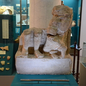
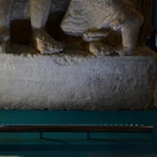
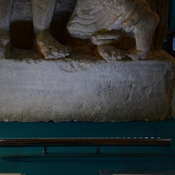
UZB-SD_1970_Aza Tepe 324UZB-SD_1970_US-D (Manguzar 1)UZB-SD_1970_Mamakhol Tepe 325UZB-SD_1970_US-D (Chegara 1)UZB-SD_1970_US-D (Manguzar 2)UZB-SD_1970_AS 620 (Tirmiz)UZB-SD_1970_AS 619 (Tirmiz)UZB-SD_1970_US-D (Haīratān 1)UZB-SD_1970_Talitagora 133UZB-SD_1970_US-D (Yangikishlak 1)UZB-SD_1970_US-D (Tirmiz 1)UZB-SD_1970_US-D (Tirmiz 3)UZB-SD_1970_US-D (Tirmiz 2)UZB-SD_1970_Afghan Tepe 115UZB-SD_1970_US-D (Oltaaryk 1)UZB-SD_1970_Qarakhon Tepe 337UZB-SD_1970_US-D (Tazhribakar 1)UZB-SD_1970_US-D (Tazhribakar 2)UZB-SD_1970_US-D (Barinchi-Garma 1)UZB-SD_1970_US-D (Komsomol 1)UZB-SD_1970_US-D (Komsomol 2)UZB-SD_1970_US-D (Qahramon 1)Lower part of sculpture picture of a man and a womanAyrtam, Lower part of sculpture picture of a man and a woman with Bactrian superscription on the pedestalAyrtam, Lower part of sculpture picture of a man and a woman with Bactrian superscription on the pedestalUZB-SD_1970_Ayrtam  221UZB-SD_1970_US-D (Eski Termiz 1)

Lage:

  • Usbekistan, Kyzylbay
  • geo:37.261093,67.34108
  • Lage ± 0-5 m.

Period or year:

  • 2xx /

Klassification:

  • Beobachtung
  • Sichtbar

Identifiers:

  • vici:place=73472

Anmerkungen


Relevante Museen


In der Nähe

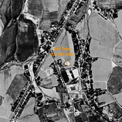
Aza Tepe (Uz-SD-324) (1 km)

Kushan settlement (0,2 ha), almost entirely destroyed by urbanisation. Studied by Pidaev.

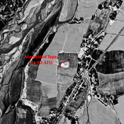
Manguzar Tepe (Uz-SD-295) (1 km)

Kushan settlement (secondary occupation in early Medieval times). Rectangular site, with a citadel in its NE corner. Studied by Annaev.

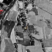
Unidentified site (1 km)

Probable archaeological site. Small mound, visible on Corona imagery (1970), since destroyed by urbanisation.