

, Sculpture
Date: CE_0100c-CE_0200c
Category: Greater Iran
Institution: Tashkent, National Museum of Uzbekistan
Place of discovery: Bactria
Collection: Livius")
, Sculpture
Date: CE_0100c-CE_0200c
Category: Greater Iran
Institution: Tashkent, National Museum of Uzbekistan
Place of discovery: Bactria
Collection: Livius")
 - UZB-SD_1970_Ayrtam 221")

Es gibt noch keine deutschsprachige Anmerkungen. Präsentiert wirden Anmerkungen auf English.
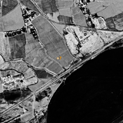
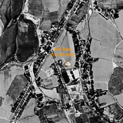
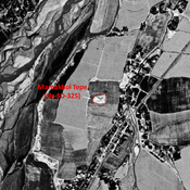
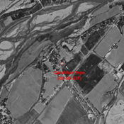
Archaeological excavations at Ayrtam, one of the most important monasteries, which at the time stood on the shores of the Amudarya, some 18 km East of modern Termez, was the first site leading to the study of Buddhism in Central Asia.
STRIDE, S. (2004), La Géographie archéologique de la province du Surkhan Darya (Bactriane du Nord, Ouzbekistan du Sud). Unpublished dissertation at the Université panthéon-Sorbonne (Paris), 5 vols. ( https://sirisacademic.academia.edu/SebastianStride?swp=tc-au-44230952 )