
Es gibt noch keine Anmerkungen. Bitte, Informationen einfügen.
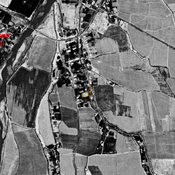
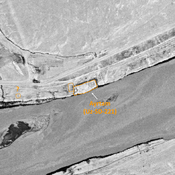
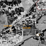
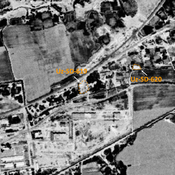
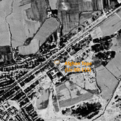
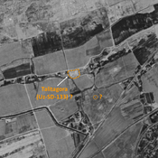
 Corona imagery (1970) - UZB-SD_1970_US-D (Haīratān 1)")
Umgebung:

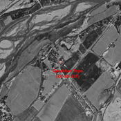

Lage:
- Usbekistan, Komendatura
- geo:37.236298,67.365479
- Lage ± 0-5 m.
Klassification:
- Beobachtung
- Unsichtbar
Identifiers:
- vici:place=97699
Anmerkungen
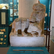
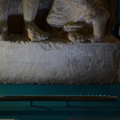
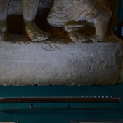
Relevante Museen
Tashkent, National Museum of Uzbek History
Historical museum
In der Nähe
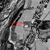
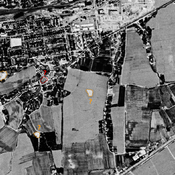
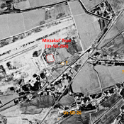
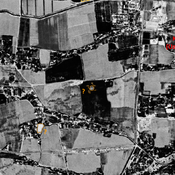
Maslakhat Tepe (Uz-SD-348) (1 km)
Kushan and early Medieval (?) settlement (0,25 ha). Compact square site, center of a possible larger urban area. Studied by Annaev.
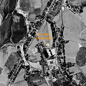
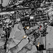
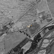
Unidentified site (2 km)
Possible archaeological site. Located with satellite imagery. Covered by a cemetery ; unchanged since 1970.
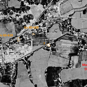
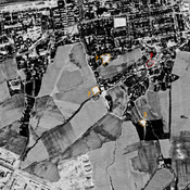
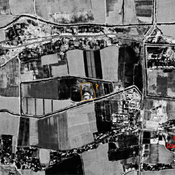
Unidentified site (2 km)
Probable archaeological site. Small mound, visible on Corona imagery (1970), since destroyed by urbanisation.