
Es gibt noch keine Anmerkungen. Bitte, Informationen einfügen.

Umgebung:
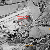
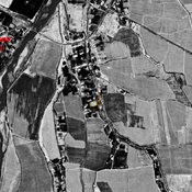

Lage:
- Usbekistan, Komsomol
- geo:37.316315,67.38147
- Lage ± 0-5 m.
Period or year:
- 2xx /
Klassification:
- Beobachtung
- Sichtbar
Identifiers:
- vici:place=73471
Anmerkungen
In der Nähe
Unidentified site
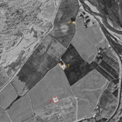
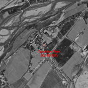
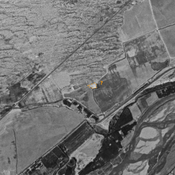
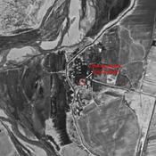
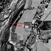
Probable archaeological mound. Visible on Corona imagery (1970), since leveled and destroyed.
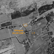
Probable archaeological mound. Visible on Corona imagery (1970)
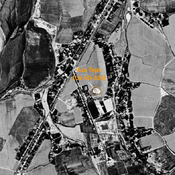
Probable archaeological site. Small mound, sisible on Corona imagery (1970), since leveled and destroyed.
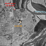
Ak Tepe (Uz-SD-114) (1 km)
Also known as Issir Tepe. Kushan and early Medieval settlement (1,5 ha). Badly damaged by modern cultivation. Studied by Arshavskaja & Rtveladze.