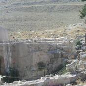
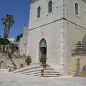
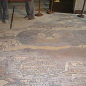
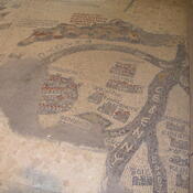
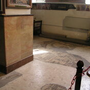
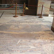
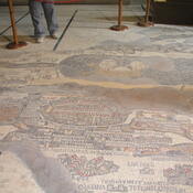
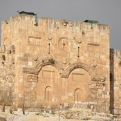
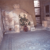
Locatie:
- PS, Bethlehem
- geo:31.704348,35.207554
- Locatie precies
Classificatie:
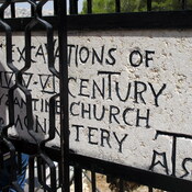
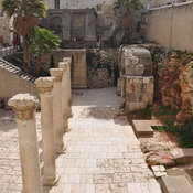
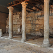
- Tempel of heiligdom
- Zichtbaar
Annotaties
Er zijn nog geen Nederlandstalige annotaties. Hier volgen annotaties in het Engels.
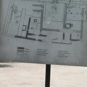
See:
- Lucy O'Connor, “The Church of the Nativity, Bethlehem,” Architecture and Asceticism, accessed October 14, 2020, http://architectureandasceticism.exeter.ac.uk/items/show/202.
In de buurt
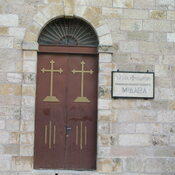
Chapel of the Milk Grotto.
Betlehem Museum, Hebron Rd.