Vici.org
No images available yet. Please add images related to this place.

Surroundings:

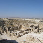
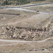
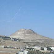
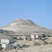
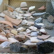
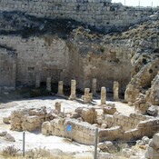
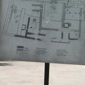
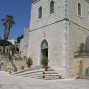
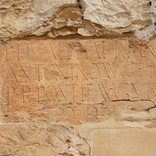
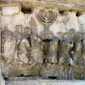
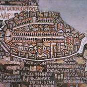
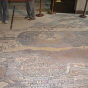
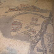
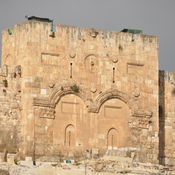
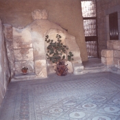
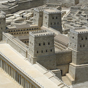
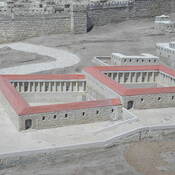
Beit Sahur, Shepherds ChurchHerodion - view from the top.Herodion - view from the top. 2006Herodion - view from the top.HerodionHerodion - lower cityHerodionHerodionHerodium, sherds founded in the fortressHerodium, Synagogue I century ADMalha - Bronze Age NecropolisPool of SiloamPlan of the ancient remainsChurch of St. John built over early Byzantine churchPedestral HadrianTitus' triumphal processionMadaba mapJerusalem CardoJerusalem CardoJerusalem on the Madaba map.Jerusalem on the Madaba map.Ancient map of Jerusalem.Ancient map of Jerusalem.Ancient map of Jerusalem.Ancient map of Jerusalem behind the door.Madaba mapGolden gateMosaic floor from 5th century.Antonia FortressPool of Bethesda

Location:

  • PS, Bethlehem
  • geo:31.704348,35.207554
  • Location ± 0-5 m.

Period or year:

  • 3xx~ / unknown

Class:

  • Temple or sanctuary
  • visible

Identifiers:

  • vici:place=67627

Annotations


Nearby

BETHLEHEM

BETHLEHEM

Bethlehem, Milk Grotto

Chapel of the Milk Grotto.

Bethlehem Museum (1 km)

Betlehem Museum, Hebron Rd.

This object was added by Elżbieta on 2020-10-14. Last update by Elżbieta on 2020-10-14. Persistent URI: http://vici.org/vici/67627 . Download as RDF/XML, KML.
Annotation available using the Creative Commons Attribution-ShareAlike 3.0 Unported license. Metadata available using the Creative Commons Public Domain Dedication, unless it is explicitly stated otherwise.

Vici.org partners:

Livius.org: articles on ancient history   Rijksmuseum van Oudheden