
Er zijn nog geen annotaties toegevoegd. Voeg een annotatie met betrekking tot deze plaats toe.
Er zijn nog geen afbeeldingen met betrekking tot deze plaats toegevoegd.
Afbeelding toevoegen.
Afbeelding toevoegen.
Omgeving:

Locatie:
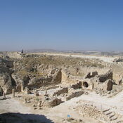
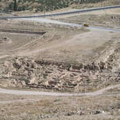
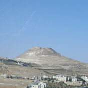
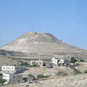
- PS, Bethlehem
- geo:31.704304,35.207577
- Locatie ± 100-500 m.
Period or year:
- -1400~ / unknown
Classificatie:
- Stad
- Niet zichtbaar
Identifiers:
- vici:place=10910
- pleiades:place=687856
- livius:place=bethlehem
- wikidata:entity=Q5776
Annotaties
In de buurt
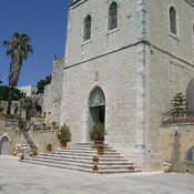
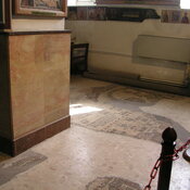
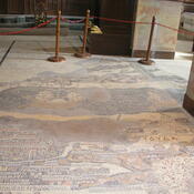
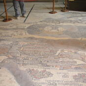
Bethlehem, Church of the Nativity
The Church of the Nativity, Bethlehem.
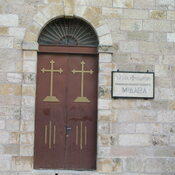
Bethlehem, Milk Grotto
Chapel of the Milk Grotto.
Bethlehem Museum (1 km)
Betlehem Museum, Hebron Rd.