
Es gibt noch keine Anmerkungen. Bitte, Informationen einfügen.

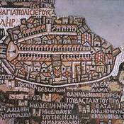
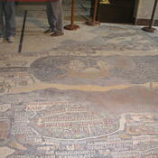
Lage:
- PS, Bethlehem
- geo:31.704304,35.207577
- Lage ± 100-500 m.
Period or year:
- -1400~ / unknown
Klassification:
- Stadt
- Unsichtbar
Identifiers:
- vici:place=10910
- pleiades:place=687856
- livius:place=bethlehem
- wikidata:entity=Q5776
Anmerkungen
In der Nähe
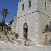
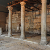
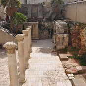
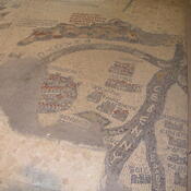
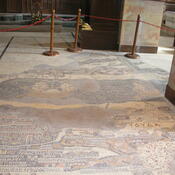
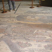
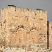
Bethlehem, Church of the Nativity
The Church of the Nativity, Bethlehem.
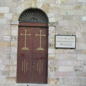
Bethlehem, Milk Grotto
Chapel of the Milk Grotto.
Bethlehem Museum (1 km)
Betlehem Museum, Hebron Rd.