
Es gibt noch keine deutschsprachige Anmerkungen. Präsentiert wirden Anmerkungen auf English.

Umgebung:

Lage:
- Vereinigtes Königreich, Dunster
- geo:51.174168,-3.453889
- Lage ± 0-5 m.
Klassification:
- Kastell
- Sichtbar
Identifiers:
- vici:place=35777
- wikidata:entity=Q4920313
Anmerkungen
In der Nähe
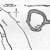
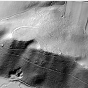
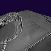
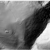
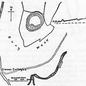
Bats Castle
Iron Age hill fort. Bat's Castle
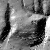
Grabbist Hill (1 km)
Hillfort on Grabbist Hill
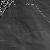
Round earthworks. (3 km)
Round earthworks.