Vici.org

Umgebung:

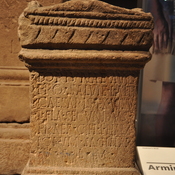
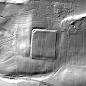
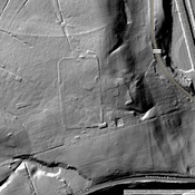
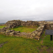
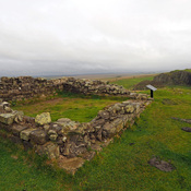
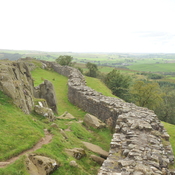
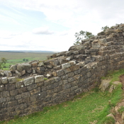
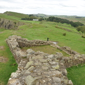
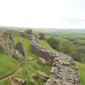
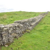
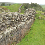
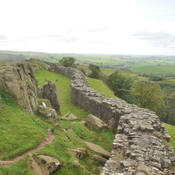
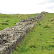
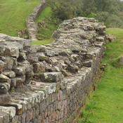
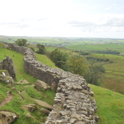
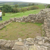
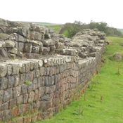
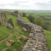
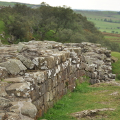
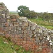
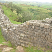
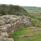
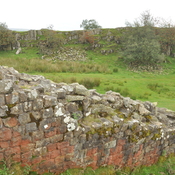
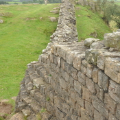
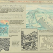
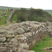
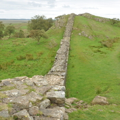
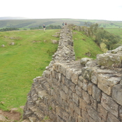
Magnis (Carvoran)Altar dedicated to Fortune by Cohort I HamiorumMagnis (Carvoran)Glenwhelt Leazes Temporary CampTurret 45ATurret 45ARoman Wall at Walltown cragsRoman Wall at Walltown cragsRoman Wall at Walltown cragsRoman Wall at Walltown cragsRoman Wall and ruins of turret at Walltown cragsRoman Wall at Walltown cragsRoman Wall at Walltown cragsRoman Wall at Walltown cragsRoman Wall at Walltown cragsRoman Wall at Walltown cragsRoman Wall at Walltown cragsRoman Wall at Walltown cragsRoman Wall at Walltown cragsWalltown crags turret 45A, explanationRoman Wall at Walltown cragsRoman Wall at Walltown cragsRoman Wall at Walltown cragsRoman Wall at Walltown cragsRoman Wall at Walltown cragsRoman Wall at Walltown cragsRoman Wall at Walltown cragsRoman Wall at Walltown cragsRoman Wall at Walltown cragsRoman Wall at Walltown crags

Lage:

  • Vereinigtes Königreich, Gilsland
  • geo:54.986736,-2.527201
  • Lage ± 0-5 m.

Period or year:

  • 128 / 400

Klassification:

  • Gebäude
  • Sichtbar

Identifiers:

Anmerkungen

Es gibt noch keine deutschsprachige Anmerkungen. Präsentiert wirden Anmerkungen auf English.

Hadrian’s Wall, Vallum or Fosse

Segment XII
                
Magnis to Banna  
Carvoran to Birdoswald
Mile Castles: 46 - 49

Built: after 128, dating uncertain


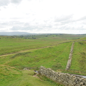
What is commonly called the “Vallum” was a wide ditch flanked by earthen ramparts that ran behind Hadrians wall.  Its purpose remains uncertain as it is unique to Roman border fortifications.  Possibly it was to define the military zone of the wall and to force trade and transport to follow marked roads to gates in the wall.  In many places, it is more visible than the wall itself.

See:  http://structuralarchaeology.blogspot.com/2010/11/40-reverse-engineering-vallum.html
https://en.wikipedia.org/wiki/Vallum_(Hadrian%27s_Wall)


Relevante Museen

Birdoswald Roman fort and study center

Petit musée du site du fort de Banna

Chesters Roman Fort Museum

Chesters Roman Fort Museum

Tullie House Museum and Art Gallery

Tullie House Museum and Art Gallery


In der Nähe

Milecastle 46 (Carvoran)

A milecastle situated on Hadrian's Wall.

Hadrian’s Wall, Vallum  Aelium,  Vallum Hadriani - Segment XII

Hadrian’s Wall- Segment XII, Magnis to Banna