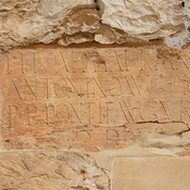
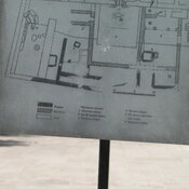
Il n'y a pas une annotation en français. Présenté est une annotation en Néerlandais.
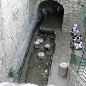
End of an Iron Age aquaduct


End of an Iron Age aquaduct
End of an Iron Age aquaduct
Het oude archeologische museum van Jordanië.
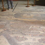
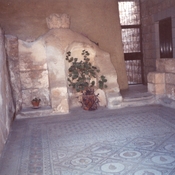
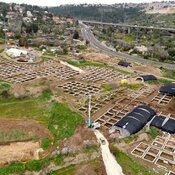
Breikhat Hashiloah
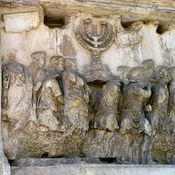
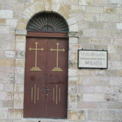
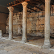
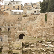
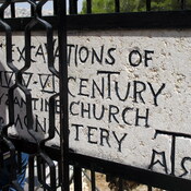
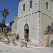
Byzantine church of the V cent.
Iron Age household.