Es gibt noch keine deutschsprachige Anmerkungen. Präsentiert wirden Anmerkungen auf Niederländisch.
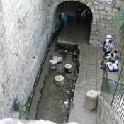
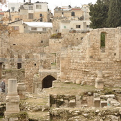
End of an Iron Age aquaduct


End of an Iron Age aquaduct
End of an Iron Age aquaduct
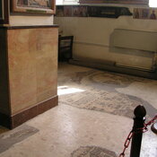
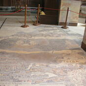
Het oude archeologische museum van Jordanië.
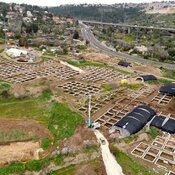
Breikhat Hashiloah
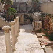
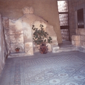
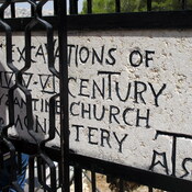
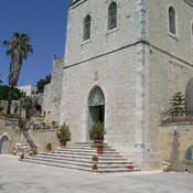
Byzantine church of the V cent.
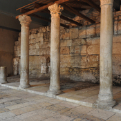
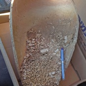
Iron Age household.