Il n'y a pas une annotation en français. Présenté est une annotation en Néerlandais.
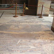
De Cardo Maximus van Jerusalem is ook te zien op het Byzantijnse Madaba mozaïek.


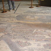
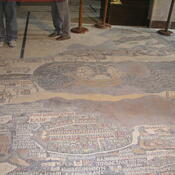
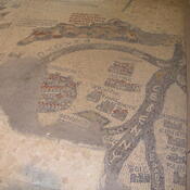

De Cardo Maximus van Jerusalem is ook te zien op het Byzantijnse Madaba mozaïek.
De Cardo Maximus van Jerusalem is ook te zien op het Byzantijnse Madaba mozaïek.
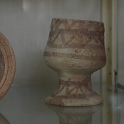
Het oude archeologische museum van Jordanië.
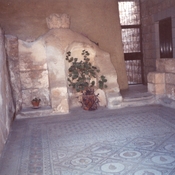
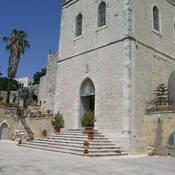
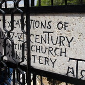
Church, founded by Constantine the Great and Helen
OmnesViae import TPPlace438
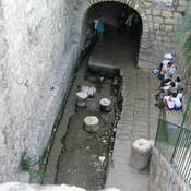
Aquaduct reservoir