
Er zijn nog geen annotaties toegevoegd. Voeg een annotatie met betrekking tot deze plaats toe.
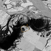
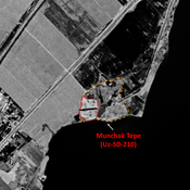
 Corona imagery (1970) - UZB-SD_1970_US-D (Xo‘jamulki 2)")
Omgeving:


Locatie:
- Oezbekistan, Xo‘jamulki
- geo:37.934502,67.715988
- Locatie precies
Classificatie:
- Archeologische waarneming
- Niet zichtbaar
Identifiers:
- vici:place=97554
Annotaties
In de buurt
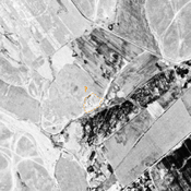
Unidentified site (1 km)
Probable settlement. Located with satellite imagery.
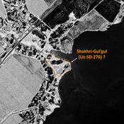
Unidentified site (2 km)
Probable settlement. Located with satellite imagery.
Unidentified site (3 km)
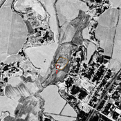
Probable archaeological site. Mound visible on Corona imagery (1970), since almost destroyed by erosion from the modern reservoir, and cultivation.