
Il n'y a pas d'annotations. Ajouter une note.
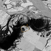
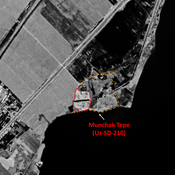
 Corona imagery (1970) - UZB-SD_1970_US-D (Xo‘jamulki 2)")
Les environs:


Localisation:
- Ouzbékistan, Xo‘jamulki
- geo:37.934502,67.715988
- Précision ± 0-5 m.
Classification:
- Observation
- Invisible
Identificateurs:
- vici:place=97554
Annotations
À proximité
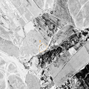
Unidentified site (1 km)
Probable settlement. Located with satellite imagery.
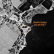
Unidentified site (2 km)
Probable settlement. Located with satellite imagery.
Unidentified site (3 km)
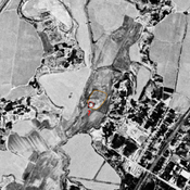
Probable archaeological site. Mound visible on Corona imagery (1970), since almost destroyed by erosion from the modern reservoir, and cultivation.