
Er zijn nog geen annotaties toegevoegd. Voeg een annotatie met betrekking tot deze plaats toe.
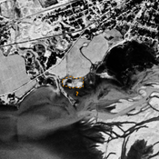
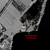
 Corona imagery (1970) - UZB-SD_1970_US-D (Xo‘jamulki 1)")
Omgeving:


Locatie:
- Oezbekistan, Xo‘jamulki
- geo:37.922577,67.746727
- Locatie precies
Classificatie:
- Archeologische waarneming
- Niet zichtbaar
Identifiers:
- vici:place=97553
Annotaties
In de buurt
Unidentified site (2 km)
Probable settlement. Located with satellite imagery.
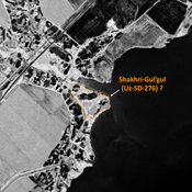
Dul'ta Tepe 2 (Uz-SD-359) (2 km)
Early Medieval, pre-Mongol and post-Mongol settlement (0,8 ha). Rectangular site, destroyed by moder, urbanisation. Studied by Arshavskaja & Rtveladze.
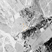
Unidentified site (3 km)
Probable archaeological site. Mound visible on Corona imagery (1970), since destroyed by erosion from the reservoir.