Vici.org

Omgeving:

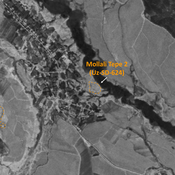
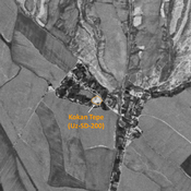
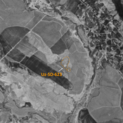
UZB-SD_1970_Sapol Tepe 212UZB-SD_1970_Chorgul' Tepe I 216UZB-SD_1970_Sary Tepe 213UZB-SD_1970_Dzhar Tepe 190UZB-SD_1970_US-D (Indaly 1)UZB-SD_1970_Durma Tepe 192UZB-SD_1970_Kyzyl Tepe 257UZB-SD_1970_Bul'bul Tepe 185UZB-SD_1970_US-D (Zaribdor 1)UZB-SD_1970_Abdul Aziz Shait Bobo Tepe 579UZB-SD_1970_US-D (Kultepa 1)UZB-SD_1970_Kul' Tepe Kabriston 205UZB-SD_1970_Mollali Tepe 2 624UZB-SD_1970_Kokan Tepe 200UZB-SD_1970_AS 623 (Qiziltepa)UZB-SD_1970_US-D (Savurtepa 1)

Locatie:

  • Oezbekistan, Jayilma
  • geo:38.028397,67.7799
  • Locatie precies

Classificatie:

  • Archeologische waarneming
  • Zichtbaar

Identifiers:

  • vici:place=97542

Annotaties


In de buurt

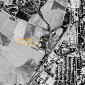
Unidentified site

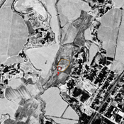
Probable archaeological site. Small mound, part of a formally larger urban area, visible on Corona imagery.

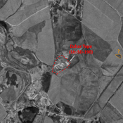
Unidentified site

Probable archaeological site. Small citadel and lower town visible on Corona imagery, since destroyed and covered by modern construction.

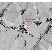
Sapol Tepe (Uz-SD-212) (1 km)

Kushan and Medieval Islamic settlement (0,5 ha). Dual mound, destroyed by modern urbanisation. Studied by Rtveladze and Khakimov.


Dit object is toegevoegd door Julien De Chocqueuse op 2024-07-20. Laatst bewerkt door Julien De Chocqueuse op 2024-07-20. Persistent URI: http://vici.org/vici/97542 . Download als RDF/XML, KML.
Annotatie beschikbaar onder de Creative Commons Naamsvermelding-GelijkDelen 3.0 Unported-licentie. Metadata beschikbaar onder de Creative Commons Publiek Domein Verklaring, tenzij expliciet anders aangegeven.
Lijntracé bij dit punt door Julien De Chocqueuse.

Vici.org partners:

Livius.org: articles on ancient history   Rijksmuseum van Oudheden