
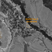
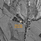
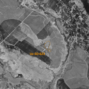
No annotations have been added. Please add information about this place.
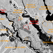
 Corona imagery (1970) - UZB-SD_1970_US-D (Jayilma 1)")
Surroundings:


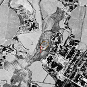

Location:
- Uzbekistan, Jayilma
- geo:38.028397,67.7799
- Location ± 0-5 m.
Class:
- Archaeological observation
- visible
Identifiers:
- vici:place=97542
Annotations
Nearby
Unidentified site
Probable archaeological site. Small mound, part of a formally larger urban area, visible on Corona imagery.
Unidentified site
Probable archaeological site. Small citadel and lower town visible on Corona imagery, since covered and partially destroyed by modern construction.
Sapol Tepe (Uz-SD-212) (1 km)
Kushan and Medieval Islamic settlement (0,5 ha). Dual mound, destroyed by modern urbanisation. Studied by Rtveladze and Khakimov.