


No annotations have been added. Please add information about this place.

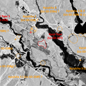
Location:
- Uzbekistan, Sho‘rchi
- geo:38.014683,67.766113
- Location ± 0-5 m.
Class:
- Archaeological observation
- invisible
Identifiers:
- vici:place=97547
Annotations
Nearby
Kul' Tepe Dzhoil'ma (Uz-SD-250)
Kushan settlement (1,3 ha). Already partially destroyed in 1970. Studied by Pugachenkova and Rtveladze.
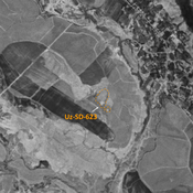
Sapol Tepe (Uz-SD-212) (1 km)
Kushan and Medieval Islamic settlement (0,5 ha). Dual mound, destroyed by modern urbanisation. Studied by Rtveladze and Khakimov.
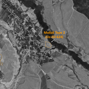
Chorgul' Tepe I (Uz-SD-216) (1 km)
Early Medieval settlement (1,6 ha). Square tepe, heavily damaged by modern constructions. Studied by Arshavskaja and Rtveladze.