
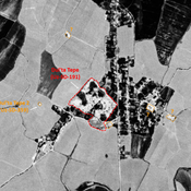
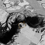
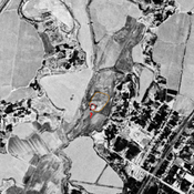
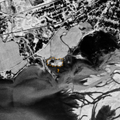
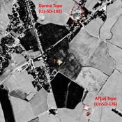
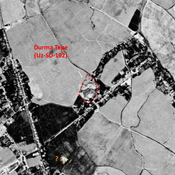
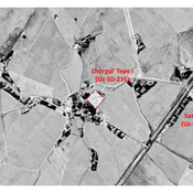

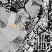
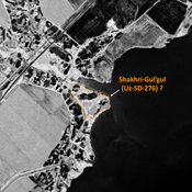

STRIDE, S. (2004), La Géographie archéologique de la province du Surkhan Darya (Bactriane du Nord, Ouzbekistan du Sud). Unpublished dissertation at the Université panthéon-Sorbonne (Paris), 5 vols. ( https://sirisacademic.academia.edu/SebastianStride?swp=tc-au-44230952 )

Location:
- Uzbekistan, Savurtepa
- geo:37.946884,67.755974
- Location ± 0-5 m.
Period or year:
- 4xx~ / 14xx?
Class:
- Rural settlement
- invisible
Identifiers:
- vici:place=96929
Annotations
Nearby
Dul'ta Tepe (Uz-SD-191)
Kushan and early Medieval town-size settlement (14 ha).Large rectangular with a western citadel and a lower town. Studied by Arshavskaja & Rtveladze.
Kosha Shait Tepe (Uz-SD-203) (1 km)
Post-Mongol settlement (0,6 ha). Square tepe, used as a cemetery, studied by Arshavskaja & Rtveladze.
Unidentified site (2 km)
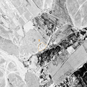
Probable archaeological site. Mound visible on Corona imagery (1970), since almost destroyed by erosion from the modern reservoir, and cultivation.