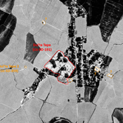
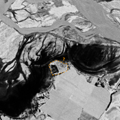
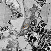
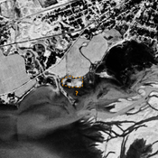
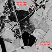
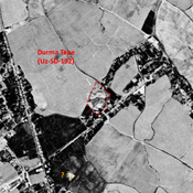
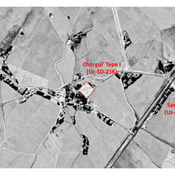
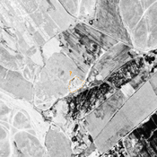
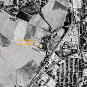
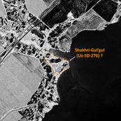
STRIDE, S. (2004), La Géographie archéologique de la province du Surkhan Darya (Bactriane du Nord, Ouzbekistan du Sud). Unpublished dissertation at the Université panthéon-Sorbonne (Paris), 5 vols. ( https://sirisacademic.academia.edu/SebastianStride?swp=tc-au-44230952 )
Lage:
- Usbekistan, Savurtepa
- geo:37.946884,67.755974
- Lage ± 0-5 m.
Period or year:
- 4xx~ / 14xx?
Klassification:
- Bäuerliche Siedlung
- Unsichtbar
Identifiers:
- vici:place=96929
Anmerkungen
Es gibt noch keine deutschsprachige Anmerkungen. Präsentiert wirden Anmerkungen auf English.
STRIDE, S. (2004), La Géographie archéologique de la province du Surkhan Darya (Bactriane du Nord, Ouzbekistan du Sud). Unpublished dissertation at the Université panthéon-Sorbonne (Paris), 5 vols. ( https://sirisacademic.academia.edu/SebastianStride?swp=tc-au-44230952 )
In der Nähe
Dul'ta Tepe (Uz-SD-191)
Kushan and early Medieval town-size settlement (14 ha).Large rectangular with a western citadel and a lower town. Studied by Arshavskaja & Rtveladze.
Unidentified site (1 km)
Probable settlement. Located with satellite imagery.
Unidentified site (2 km)
Probable archaeological site. Mound visible on Corona imagery (1970), since almost destroyed by erosion from the modern reservoir, and cultivation.

