
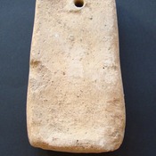
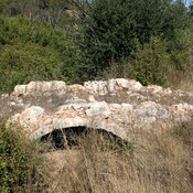
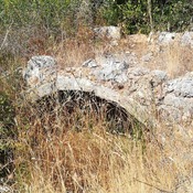
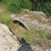
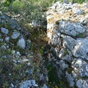
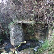
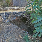
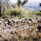
Small group of houses close to the ancient medieval/roman road, rediscovered in the 2010 archaeological surveys for the construction of the gas pipeline. Referred to in the delimitations of the Order of Christ in 1502 as "Val de Rodas", toponym translated to "Valey of wheels".
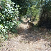
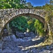
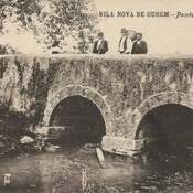
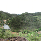
This place is located halfway up the slope, in an area of limestone massif, and unlike the nearby valleys, it is not an appropriate place for agriculture (it does not have streams, even intermittent ones).
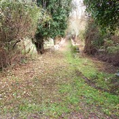
It is located on the territorial border between Tomar and Ourém, a consolidated border since the 12th century

Location:
- Portugal, Pinhal
- geo:39.693218,-8.477626
- Location ± 0-5 m.
Period or year:
- 11xx? / 181x?
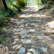
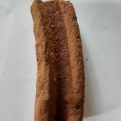
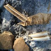
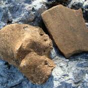
Class:
- Tavern or relay
- visible
Identifiers:
- vici:place=87951
Annotations
Nearby
Ministro (2 km)
Old circular structure, in the peak of a steep elevation (used as windmill)
Castelo do Porto Velho (2 km)
Settlement with two lines of walls, probably from the Iron Age, and later romanized
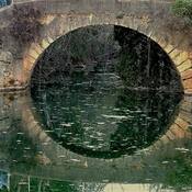
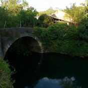
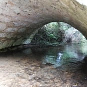
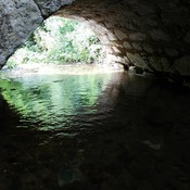
Portus Aurens - Portus Thomar (2 km)
Portus Aurens (river ford)