Vici.org
No images available yet. Please add images related to this place.

Surroundings:

Loom weightPaved roadWalled path towards the riverWall path in direction to the river NabãoPonte Romana na QuebradaPonte do Casal VelhoPonte do Casal de BaixoPonte do AlgarãoPonte Romana da PóvoaPanoramic viewCastro de Cera? Western defensive wallBridge over ribeira da SoiandaCalçada da SoiandaIron age fort (Avecasta)Iron age fort (Avecasta)Medieval watchtowerTorre de Langalhão ou da MurtaCeras bridgeCeras' bridgeCeras BridgeCeras water streamPonte de CerasPonte de Vale FigueiraPonte de Vale da FigueiraPonte de Vale da FigueiraPonte de São SimãoRego da MurtaRibeiro Perro' s abandoned bridgePonte da ValadaCaminho da ponte da Valada-Seiça

Location:

  • Portugal, Porto Velho
  • geo:39.705452,-8.448968
  • Location ± 0-5 m.

Period or year:

  • -100? / unknown

Class:

  • Castle
  • visible

Identifiers:

  • vici:place=86685

Annotations

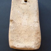
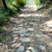
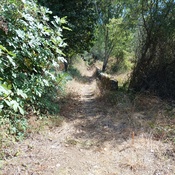
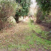
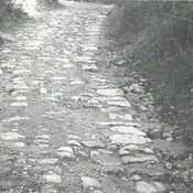
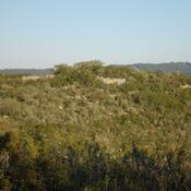
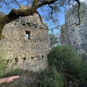
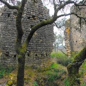
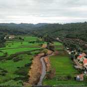
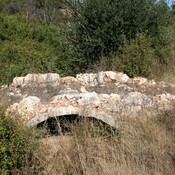
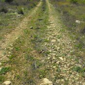
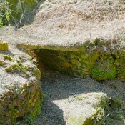
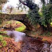
Settlement with two lines of walls, probably from the Iron Age, and later romanized, located on the right bank of the Nabão river. Located on an elevation with good command of the landscape, it controls the entrance to the middle section of the Nabão river, and the passages to the west ensured by the valleys of the Olival, Caxarias and Sabacheira streams. At the foot of the hill, there are traces of coal mines that operated in the 20th century.


Nearby

Porto Velho ("old ford")

Porto Velho ("old ford")

Vale de Rodas (Valley of wheel's) (2 km)

Medieval rural settlement


This object was added by Hugo on 2023-06-03. Last update by Hugo on 2023-07-30. Persistent URI: http://vici.org/vici/86685 . Download as RDF/XML, GeoJSON, KML.
Annotation available using the Creative Commons Attribution-ShareAlike 3.0 Unported license. Metadata available using the Creative Commons Public Domain Dedication, unless it is explicitly stated otherwise.

Vici.org partners:

Livius.org: articles on ancient history   Rijksmuseum van Oudheden