
Vici.org
Er zijn nog geen afbeeldingen met betrekking tot deze plaats toegevoegd.
Afbeelding toevoegen.

Omgeving:

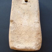
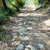
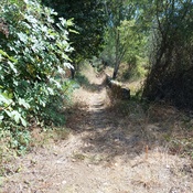
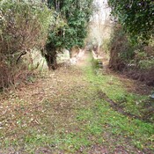
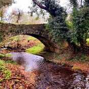
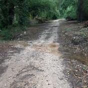
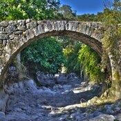
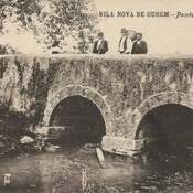
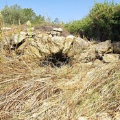
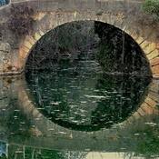
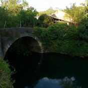
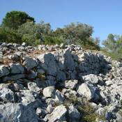
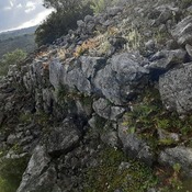
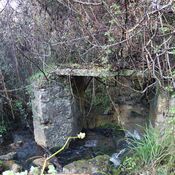
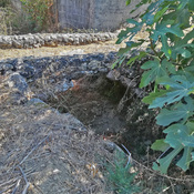
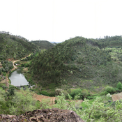
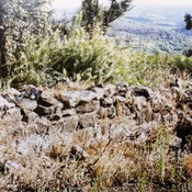
Loom weightPaved roadWalled path towards the riverWall path in direction to the river NabãoTombstones found in Rio de Couros old church sitePonte da ValadaCaminho da ponte da Valada-SeiçaTomareisPonte Romana na QuebradaOlaia bridgePonte do AlgarãoPonte de Vale da FigueiraPonte de São SimãoPonte de Vale FigueiraPonte de Vale da FigueiraPonte Romana da PóvoaPonte do Casal de BaixoPonte do Casal VelhoCastelo do CarrapatosoCastelo do CarrapatosoCastelo do CarrapatosoCastelo do CarrapatosoCastelo do CarrapatosoCastelo do CarrapatosoBridge over ribeira da SoiandaCarregueiros bridgePanoramic viewCastro de Cera? Western defensive wallFigueirinha's bridge arcFigueirinha's bridge  arch

Locatie:

  • Portugal, Pinhal
  • geo:39.693218,-8.477626
  • Locatie precies

Period or year:

  • 11xx? / 181x?

Classificatie:

  • Herberg of halteplaats
  • Zichtbaar

Identifiers:

  • vici:place=87951

Annotaties

Er zijn nog geen Nederlandstalige annotaties. Hier volgen annotaties in het Engels.

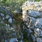
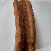
Small group of houses close to the ancient medieval/roman road, rediscovered in the 2010 archaeological surveys for the construction of the gas pipeline. Referred to in the delimitations of the Order of Christ in 1502 as "Val de Rodas", toponym translated to "Valey of wheels".
This place is located halfway up the slope, in an area of limestone massif, and unlike the nearby valleys, it is not an appropriate place for agriculture (it does not have streams, even intermittent ones).
It is located on the territorial border between Tomar and Ourém, a consolidated border since the 12th century

Small group of houses close to the ancient medieval/roman road, rediscovered in the 2010 archaeological surveys for the construction of the gas pipeline. Referred to in the delimitations of the Order of Christ in 1502 as "Val de Rodas", toponym translated to "Valey of wheels".
This place is located halfway up the slope, in an area of limestone massif, and unlike the nearby valleys, it is not an appropriate place for agriculture (it does not have streams, even intermittent ones).
It is located on the territorial border between Tomar and Ourém, a consolidated border since the 12th century


In de buurt

Ministro (2 km)

Old circular structure, in the peak of a steep elevation (used as windmill)

Castelo do Porto Velho (2 km)

Settlement with two lines of walls, probably from the Iron Age, and later romanized

Portus Aurens (2 km)

Portus Aurens (river ford)


Dit object is toegevoegd door Hugo op 2023-08-02. Laatst bewerkt door Hugo op 2023-08-02. Persistent URI: http://vici.org/vici/87951 . Download als RDF/XML, KML.
Annotatie beschikbaar onder de Creative Commons Naamsvermelding-GelijkDelen 3.0 Unported-licentie. Metadata beschikbaar onder de Creative Commons Publiek Domein Verklaring, tenzij expliciet anders aangegeven.

Vici.org partners:

Livius.org: articles on ancient history   Rijksmuseum van Oudheden