
Vici.org
Il n'y a pas d'images. Télécharger une image.

Les environs:

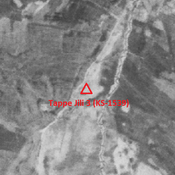
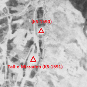
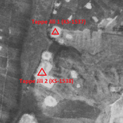
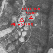
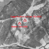
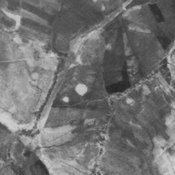
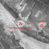
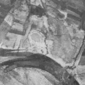
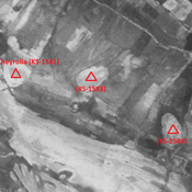
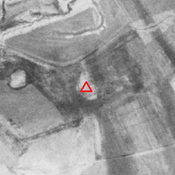
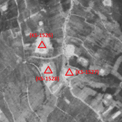
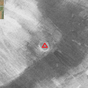
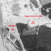
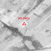
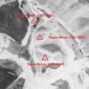
Tall-e Beriber 2 (KS-1540) - CORONA imagery 1968Tappe Jili 3 (KS-1539) - CORONA imagery 1968Tall-e Mirzadeh (KS-1591) & KS-1590 - CORONA imagery 1968Tall-e Beriber 1 (KS-1533) - CORONA imagery 1968Tappe Jili 1 & 2 (KS-1537, 1538) - CORONA imagery 1968Tall-e Nazar (KS-1536) - CORONA imagery 1968Mijoun (KS-1535) - CORONA imagery 1968Tappe Poshtak-e Nazar (KS-1531) - CORONA imagery 1968Tall-e Kalabla (KS-1529) - CORONA imagery 1968Tall-e Kheyrolla (KS-1581) - CORONA imagery 1968Tall-e Marqeri (KS-1530) - CORONA imagery 1968Anonymous settlement (KS-1583) - CORONA imagery 1968Anonymous settlement (KS-1584) - CORONA imagery 1968Unidentified site (Gobeyr 1) - CORONA imagery 1Anonymous sites (KS-1526, 1527, 1528) - CORONA imagery 1968Unidentified site (Bunneh Farwaz Khān 1)Tappe Faraj (KS-1602) - CORONA imagery 1968Tappe Qaymasi (KS-1585) - CORONA imagery 1968Ishan Al Asvad 1 (KS-1597) - CORONA imageryJambovala 2 (KS-1517) - CORONA imagery 1968Nur Ali (KS1629, KS1640) - CORONA imagery 1968Zamin-e Haj Yaqub (KS-1514) - CORONA imgaery 1968Mordargardesh (KS-1518) - CORONA imagery 1968Anonymous settlement (KS-1601) - CORONA imagery 1968Tappe Belvar 2 (KS-1604) - CORONA imagery 1968

Localisation:

  • Iran, ‘Elleh-ye Ḩājj ‘Abd ol ‘Alī
  • geo:31.915504,48.863926
  • Précision ± 0-5 m.

Classification:

  • Observation
  • Invisible

Identificateurs:

  • vici:place=85809

Annotations

MOGHADDAM Abbas & MIRI Negin (2003), Archaeological Research in the Mianab Plain of Lowland Susiana, South-Western Iran, Journal of the British Institute of Persian Studies (https://www.researchgate.net/publication/262117290_Archaeological_Research_in_the_Mianab_Plain_of_Lowland_Susiana_South-Western_Iran)


À proximité

Tall-e Qabaz 3 (KS-1544)

Parthian single-mound site (2,43 ha).

Tall-e Qabaz 4 (KS-1545)

Early and middle Islamic settlement. Cluster of mounds (3,61 ha).

Tall-e Qabaz 1 (KS-1542) (1 km)

Parthian site (1,88 ha).