
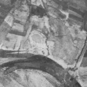
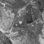
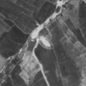
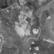
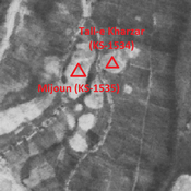
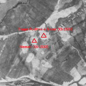
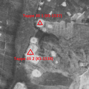
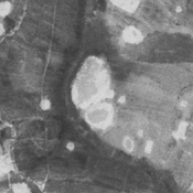
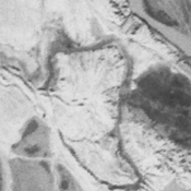
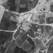
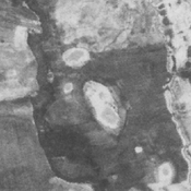
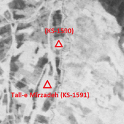
 - CORONA imagery 1968")
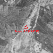
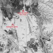
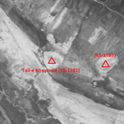
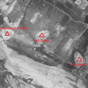


Il n'y a pas une annotation en français. Présenté est une annotation en Anglais.
MOGHADDAM Abbas & MIRI Negin (2003), Archaeological Research in the Mianab Plain of Lowland Susiana, South-Western Iran, Journal of the British Institute of Persian Studies (https://www.researchgate.net/publication/262117290_Archaeological_Research_in_the_Mianab_Plain_of_Lowland_Susiana_South-Western_Iran)