
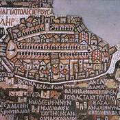
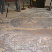
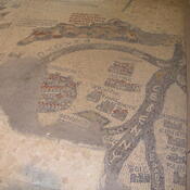
Il n'y a pas une annotation en français. Présenté est une annotation en Anglais.

Localisation:
- Israël, Ramot Eshkol
- geo:31.798611,35.2183
- Précision ± 5-25 m.
Period or year:
- 1xx / unknown
Classification:
- Tombeau ou tombes
- Visible
Identificateurs:
- vici:place=73985
Annotations
Musées associés
Archeologisch museum van Amman
Het oude archeologische museum van Jordanië.
À proximité
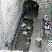
Tomb of the Grapes.
An elaborate underground complex of Second Temple period tombs located in the Sanhedria neighborhood in Northern Jerusalem.
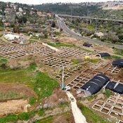
Khirbat el-Masani
Early Byzantine monastery and pilgrims' stop.
Jerusalem stone quarry (1 km)
Stone quarry