Vici.org
Il n'y a pas d'images. Télécharger une image.

Les environs:

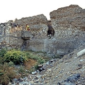
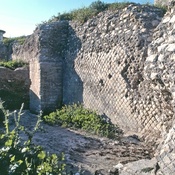
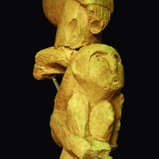
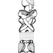
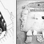
SamosataSamosataSamosataThe south-east wall of the Roman settlement at SamosataSamsat ( Samosata ) - Aqueduct“totem pole” from Nevalı Çori“totem pole” from Nevalı Çori.Nevalı Çori, Temple

Localisation:

  • Turquie, Kilisan
  • geo:37.504341,38.517864
  • Précision incertaine

Period or year:

  • -5000~ / -1500~

Classification:

  • Ville
  • Invisible

Identificateurs:

  • vici:place=68668

Annotations

Il n'y a pas une annotation en français. Présenté est une annotation en Anglais.

The excavations at Kurban Höyük were carried out by Dr. Leon Marfoe from 1980 till 1984. hree cultural layers were identified in this mound, 5000 - 3000  BC - Chalcolithic, 3000 - 2000 BC Early Bronze Age and  2000 - 1500 BC- MBA.

See:

  1. Kurban Höyük-http://www.tayproject.org/TAYages.fm$Retrieve?CagNo=2015&html=ages_detail_t.html&layout=web
  2. Town and Country in Southeastern Anatolia, Volume 2: The Stratigraphic Sequence at Kurban Höyük, Oriental Institute Publications (OIP), 1990
  3. L. Marfoe, “Kurban Höyük1982” Anatolian Studies33, 1983:pp.  253–254.
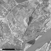
À proximité

Samosata (4 km)

OmnesViae import TPPlace2556

Samosata (4 km)

Roman Legionary Fortress

Samsat ( Samosata ) - Aqueduct (4 km)

The Roman aqueduct north of Samsat has been flooded by the waters of the lake formed behind the Atatürk Dam.