

Es gibt noch keine deutschsprachige Anmerkungen. Präsentiert wirden Anmerkungen auf English.
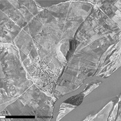
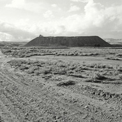
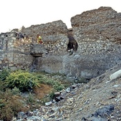
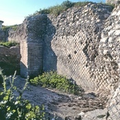
The excavations at Kurban Höyük were carried out by Dr. Leon Marfoe from 1980 till 1984. hree cultural layers were identified in this mound, 5000 - 3000 BC - Chalcolithic, 3000 - 2000 BC Early Bronze Age and 2000 - 1500 BC- MBA.
See:
- Kurban Höyük-http://www.tayproject.org/TAYages.fm$Retrieve?CagNo=2015&html=ages_detail_t.html&layout=web
- Town and Country in Southeastern Anatolia, Volume 2: The Stratigraphic Sequence at Kurban Höyük, Oriental Institute Publications (OIP), 1990
- L. Marfoe, “Kurban Höyük1982” Anatolian Studies33, 1983:pp. 253–254.