
See:

Surroundings:

Location:
- United Kingdom of Great Britain and Northern Ireland, Dunster
- geo:51.174168,-3.453889
- Location ± 0-5 m.
Class:
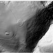
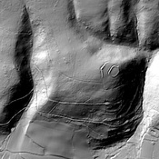
- Castle
- visible
Identifiers:
- vici:place=35777
- wikidata:entity=Q4920313
Annotations
Nearby
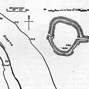
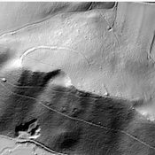
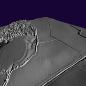
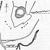
Bats Castle
Iron Age hill fort. Bat's Castle. Native name Caesar's Camp
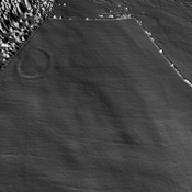
Grabbist Hill (1 km)
Hillfort on Grabbist Hill
Carhampton (3 km)
Round earthworks.