

Er zijn nog geen Nederlandstalige annotaties. Hier volgen annotaties in het Engels.
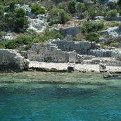
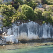
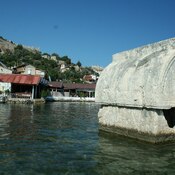
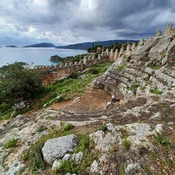
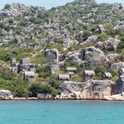
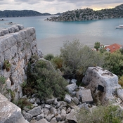
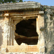
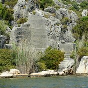
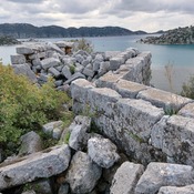
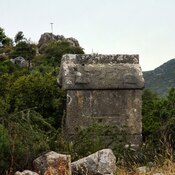
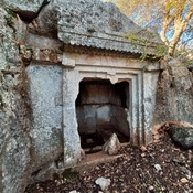
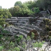
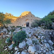
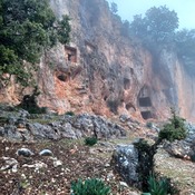
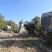
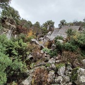
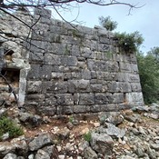
"Harbor quay and structural walls, which sank about 2-3 m. under water due to earthquakes, are visible, submerged under water at their foundation level. Harbor buildings, cisterns, quay wall, mooring posts and building remains on the east slope, thought to be related with the harbor, were identified"1.
- Erdoğan Aslan, Kekova Bölgesi Liman Araştırmaları 2010:Dolichiste (Kekova Adası) Liman Alanları Harbor Surveys in Kekova Region in 2010: Dolichiste (Kekova Adası) Harbor Areas, in: Anmed 2011, pp.231-235
Bronverwijzingen
- ↑Erdoğan Aslan, Kekova Bölgesi Liman Araştırmaları 2010:Dolichiste (Kekova Adası) Liman Alanları Harbor Surveys in Kekova Region in 2010: Dolichiste (Kekova Adası) Harbor Areasin: Anmed 2011, p. 231