Vici.org
Keine Bilder von diesem Ort. Bitte, Bilder hochladen.

Umgebung:

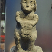
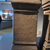
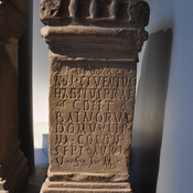
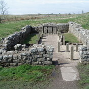
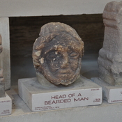
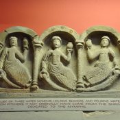
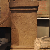
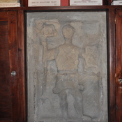
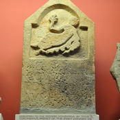
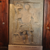
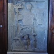
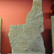
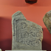
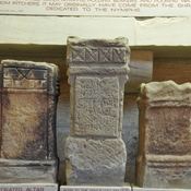
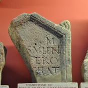
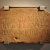
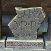
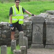
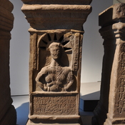
Altar dedicated to Mithras Cohort I BatavorumMithraeum on Hadrian's WallMithraeumAltar dedicated to Mithras by M. Simplicius Simplex praefectMother goddess found in MithraeumAltar dedicated to Mithras by Cohort I BatavorumRoman FortAltar to local gods by Cohort II NerviansBrocolitia FortTombstone for unknown, son of Milenus, Cohort I BatavorumHead of a bearded manRelief of 3 water nymphsAltar with nymphs, genii, Cohort I BatavorumTombstone of a standard-bearerAltar dedicated to Covventine by Cohort I BatavorumTombstone of a standard-bearerTombstone of a standard-bearerAltar erected by Cohort I BatavorumTombstone for trumpeter of Cohort I BatavorumBrown Dikes Temporary CampMilecastle 30 (Limestone Corner)Limestone Corner Temporary CampWalwick Fell Temporary CampNewbrough Roman FortCoesike East Temporary CampGrindon School Temporary CampRoman RdSlab with Inscription (Latin) from milecastle 38Statue of Juno DolichenusAltar to the goddess Fortune conservatrix

Lage:

  • Vereinigtes Königreich, Simonburn
  • geo:55.034679,-2.226229
  • Lage ± 0-5 m.

Period or year:

  • 128 / 400

Klassification:

  • Gebäude
  • Sichtbar

Identifiers:

Anmerkungen

Es gibt noch keine deutschsprachige Anmerkungen. Präsentiert wirden Anmerkungen auf English.

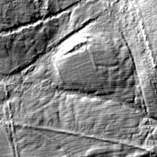
Hadrian’s Wall, Vallum or Fosse

Segment VIII

Brocolita to Vercovicivm
Carrawburgh to Housesteads
Mile Castles: 31 - 36

Built: after 128, dating uncertain


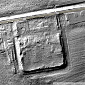
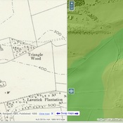
What is commonly called the “Vallum” was a wide ditch flanked by earthen ramparts that ran behind Hadrians wall.  Its purpose remains uncertain as it is unique to Roman border fortifications.  Possibly it was to define the military zone of the wall and to force trade and transport to follow marked roads to gates in the wall.  In many places, it is more visible than the wall itself.

See:  http://structuralarchaeology.blogspot.com/2010/11/40-reverse-engineering-vallum.html
https://en.wikipedia.org/wiki/Vallum_(Hadrian%27s_Wall)


Relevante Museen

Chesters Roman Fort Museum

Chesters Roman Fort Museum

Housesteads Museum

Housesteads Roman Fort Museum

Great North Museum: Hancock

Great North Museum: Hancock

Alnwick Castle

Alnwick Castle and museum.


In der Nähe

Turret 31A (The Strands)

A turret situated on Hadrian's Wall.

Carrawburgh Vicus

Carrawburgh Vicus