
Vici.org
Il n'y a pas d'images. Télécharger une image.

Les environs:

Badbury RingsSpetisbury RingsFigbury RingsWitchamptonEye Mead Roman Road FragmentRoman RdThe Portway (Margary 4e)

Localisation:

  • Royaume-Uni, Shapwick
  • geo:50.820534,-2.074199
  • Précision exacte

Classification:

  • Camp fortifié
  • Invisible

Identificateurs:

  • vici:place=27397

Annotations

Il n'y a pas une annotation en français. Présenté est une annotation en Anglais.

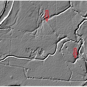
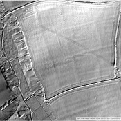
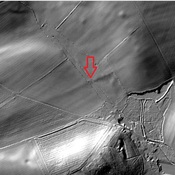
The town was fortified as a Burgus in the late 4th century.  This site was originally interpreted as a fort, but newer research now suggests that it was a late period Burgus.  Some of the described distances are off significantly in this area.

http://roman-britain.co.uk/places/vindocladia.htm

https://archaeologynationaltrustsw.wordpress.com/tag/vindocladia/

https://archaeologynationaltrustsw.wordpress.com/2015/01/18/shapwicks-roman-fort-kingston-lacy/

The town was fortified as a Burgus in the late 4th century.  This site was originally interpreted as a fort, but newer research now suggests that it was a late period Burgus.  Some of the described distances are off significantly in this area.

http://roman-britain.co.uk/places/vindocladia.htm

https://archaeologynationaltrustsw.wordpress.com/tag/vindocladia/

https://archaeologynationaltrustsw.wordpress.com/2015/01/18/shapwicks-roman-fort-kingston-lacy/


À proximité

Vindocladia

OmnesViae import OVPlace483

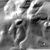
Badbury Rings (1 km)

Iron Age hill fort in east Dorset

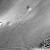
Yellowberries Copse (1 km)

Iron Age enclosure, or possibly hill fort