
Il n'y a pas une annotation en français. Présenté est une annotation en Anglais.
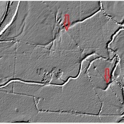
A town that grew up along the Roman road. The town was fortified as a Burgus in the late 4th century.


A town that grew up along the Roman road. The town was fortified as a Burgus in the late 4th century.
A town that grew up along the Roman road. The town was fortified as a Burgus in the late 4th century.
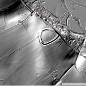
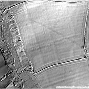
Shapwick Roman Fort
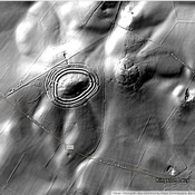
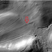
Iron Age hill fort in east Dorset
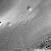
Iron Age enclosure, or possibly hill fort