


Es gibt noch keine deutschsprachige Anmerkungen. Präsentiert wirden Anmerkungen auf English.
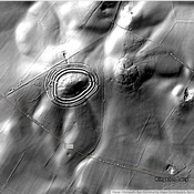
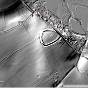
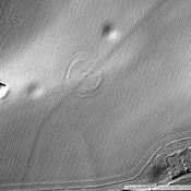
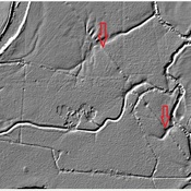
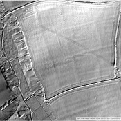
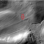
The town was fortified as a Burgus in the late 4th century. This site was originally interpreted as a fort, but newer research now suggests that it was a late period Burgus. Some of the described distances are off significantly in this area.
http://roman-britain.co.uk/places/vindocladia.htm
https://archaeologynationaltrustsw.wordpress.com/tag/vindocladia/
https://archaeologynationaltrustsw.wordpress.com/2015/01/18/shapwicks-roman-fort-kingston-lacy/