
Es gibt noch keine Anmerkungen. Bitte, Informationen einfügen.

Lage:
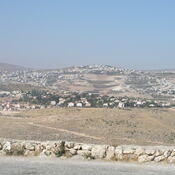
- PS, Al Khaḑir
- geo:31.688992,35.169819
- Lage ± 0-5 m.
Period or year:
- -100~ / unknown
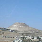
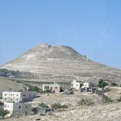
Klassification:
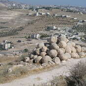
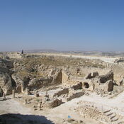
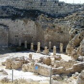
- Aquädukt
- Sichtbar
Identifiers:
- vici:place=23288
Anmerkungen
In der Nähe
Khalet al-Jam'a (3 km)
Khalet al-Jam'a is an Iron Age necropolis near Betlehem
Khalet al-Jam'a (3 km)
Khalet al-Jam'a is a Middle Bronze Age necropolis near Betlehem
BETHLEHEM (3 km)
BETHLEHEM