Vici.org
Keine Bilder von diesem Ort. Bitte, Bilder hochladen.

Umgebung:

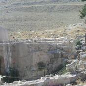
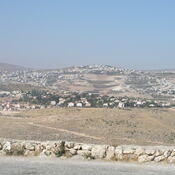
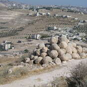
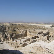
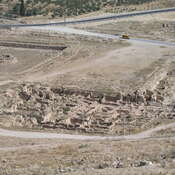
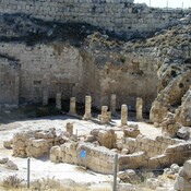
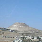
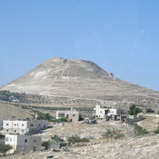
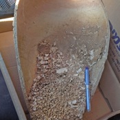
Beit Sahur, Shepherds ChurchHerodion - view from the top.Herodion - view from the top. 2006Herodion - view from the top.HerodionHerodion - lower cityHerodium, Synagogue I century ADHerodium, sherds founded in the fortressHerodionHerodionMalha - Bronze Age Necropolis

Lage:

  • PS, Khallat Ḩamad
  • geo:31.684086,35.209641
  • Lage ± 0-5 m.

Klassification:

  • Gräber oder Grabstätte
  • Sichtbar

Identifiers:

  • vici:place=40779

Anmerkungen

Es gibt noch keine deutschsprachige Anmerkungen. Präsentiert wirden Anmerkungen auf English.
  1. See:
  2. Lorenzo Nigro, Khalet al-Jam'a a Middle Bronze and Iron Age Necropolis near Bethlehem (Palestine), in: Vicino Oriente XIX (2015), pp. 185-218 - https://www.academia.edu/22353569
  3. Lorenzo Nigro, Bethlehem in the Bronze and Iron Ages,  in the light of recent discoveries by the Palestinian MOTA-DACH, Vicino Oriente XIX (2015), pp. 1-24 - https://www.academia.edu/22280922

In der Nähe

Khalet al-Jam'a

Khalet al-Jam'a is a Middle Bronze Age necropolis near Betlehem

Bethlehem, Milk Grotto (2 km)

Chapel of the Milk Grotto.

BETHLEHEM (2 km)

BETHLEHEM