There is no English annotation yet. Presented is an annotation in Dutch.
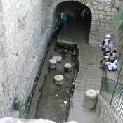
End of an Iron Age aquaduct


End of an Iron Age aquaduct
End of an Iron Age aquaduct
Het oude archeologische museum van Jordanië.
Breikhat Hashiloah
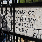
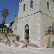
Byzantine church of the V cent.
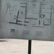
Iron Age household.