
Vici.org

Les environs:

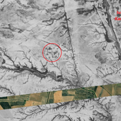
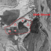
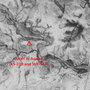
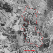
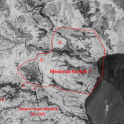
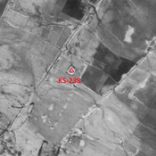
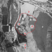
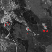
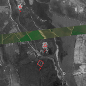
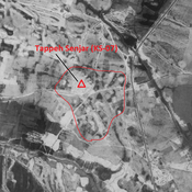
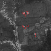
Iran_Susiana_Ivan-e-Karkeh West building - CORONA imagerySāleh Dāvood - CORONA imageryIshan Al Aswad (KS-239 and WK-157) - CORONA ImageryIran_Susiana_Ivan-e-Karkeh northern suburb - CORONA imageryIran_Susiana_Unidentified (Medieval Karkhah ?) - CORONA imageryAnonymous site (KS-238) - CORONA ImageryIran_Susiana_Unidentified (Chīchālī Do) - CORONA imageryIran_Susiana_Unidentified (Jarīyeh Seyyed Karm) - CORONA imageryIran_Susiana_Unidentified (Seyyed Karam) - CORONA imageryTappeh Senjar (KS-07) - CORONA ImageryIran_Susiana_Unidentified (Hormozīn) - CORONA imagery

Localisation:

  • Iran, Sorkheh-ye Sheykh ‘Azīz
  • geo:32.329288,48.122917
  • Précision ± 0-5 m.

Period or year:

  • 3xx / 12xx?

Classification:

  • Ville
  • Visible

Annotations

Il n'y a pas une annotation en français. Présenté est une annotation en Anglais.

KARIMIAN Hassan, KOOCHAK Gholamali (2012), Ivan-E- Karkheh: The Spatial Structure, Form and Function with Reference to the Archeological Data (https://jarcs.ut.ac.ir/article_28860.html?lang=en) (persian)

KARIMIAN Hassan, KOOCHAK Gholamali (2012), Ivan-E- Karkheh: The Spatial Structure, Form and Function with Reference to the Archeological Data (https://jarcs.ut.ac.ir/article_28860.html?lang=en) (persian)


À proximité

Unidentified site (1 km)

Probable settlement. Located with satellite imagery.

Anonymous site (2 km)

Sasanian circular building, destroyed by modern irrigation, but visible on CORONA imagery. Probable religious and ritual function.

Sāleh Dāvood (2 km)

Parthian - Elymean settlement. Damaged during the Iran-Irak war.