
KARIMIAN Hassan, KOOCHAK Gholamali (2012), Ivan-E- Karkheh: The Spatial Structure, Form and Function with Reference to the Archeological Data (https://jarcs.ut.ac.ir/article_28860.html?lang=en) (persian)

Location:
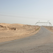
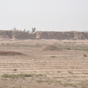
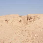
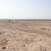
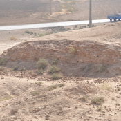
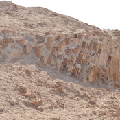
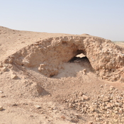
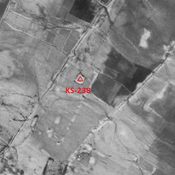
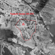
- Iran (Islamic Republic of), Sālār-e Shahīdān
- geo:32.34304,48.129837
- Location ± 0-5 m.
Period or year:
- 3xx / 6xx
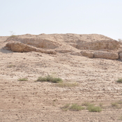
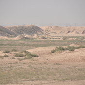
Class:
- Rural settlement
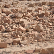
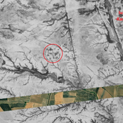
- visible
Identifiers:
- vici:place=85304
Annotations
Nearby
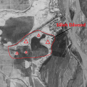
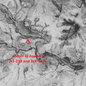
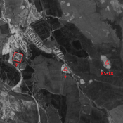
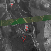
Sāleh Dāvood
Parthian - Elymean settlement. Damaged during the Iran-Irak war. Composed of sevral eroded mounds, better visible on Corona imagery.
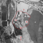
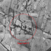
Ivan-e-Karkeh northern suburb (1 km)
No dating information. Destroyed by human activities, but visible on CORONA imagery.
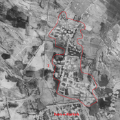
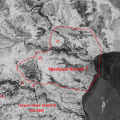
Iwan-e Karkheh (1 km)
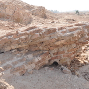
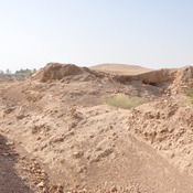
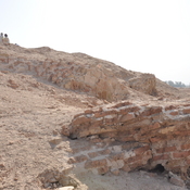
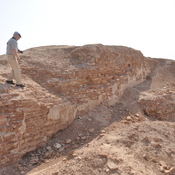
Sasanian city (396 ha), founded by Shapur II. Known as Karkeh in medieval islamic period. Badly damaged by Iran-Irak war.