
KARIMIAN Hassan, KOOCHAK Gholamali (2012), Ivan-E- Karkheh: The Spatial Structure, Form and Function with Reference to the Archeological Data (https://jarcs.ut.ac.ir/article_28860.html?lang=en) (persian)


Surroundings:
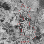
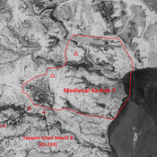

Location:
- Iran (Islamic Republic of), Sorkheh-ye Sheykh ‘Azīz
- geo:32.329288,48.122917
- Location ± 0-5 m.
Period or year:
- 3xx / 12xx?
Class:
- City
- visible
Identifiers:
- vici:place=18233
- pleiades:place=903047
- livius:place=iwan-e-karkheh
- wikidata:entity=Q69123340
Annotations
Nearby
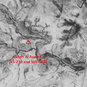
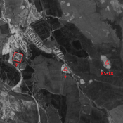
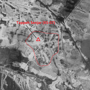
Tepe Ishan Asoud (1 km)
Sasanian settlement.
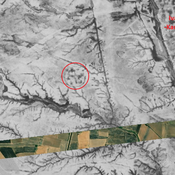
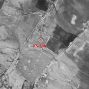
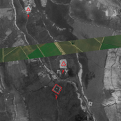
Anonymous site (2 km)
Sasanian circular building, destroyed by modern irrigation, but visible on CORONA imagery. Probable religious and ritual function.
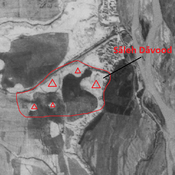
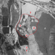
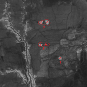
Sāleh Dāvood (2 km)
Parthian - Elymean settlement. Damaged during the Iran-Irak war. Composed of sevral eroded mounds, better visible on Corona imagery.